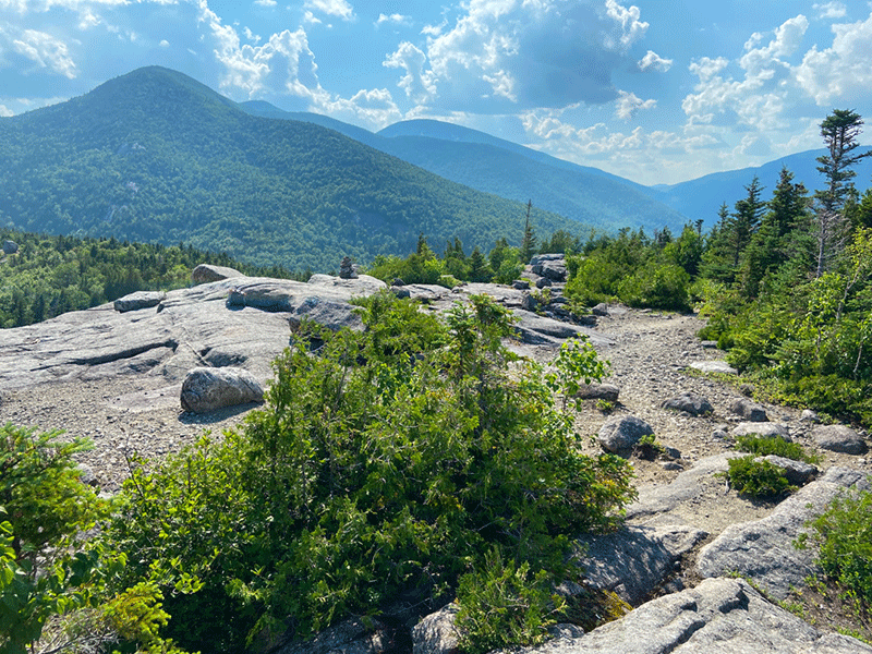
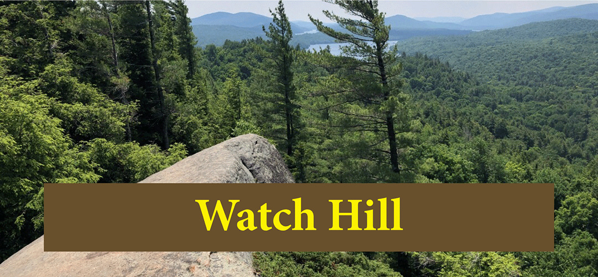
Bald Mountain is a challenging hike with numerous small lookouts that leads to sweeping views of Giant Mountain and Rocky Peak Mountain
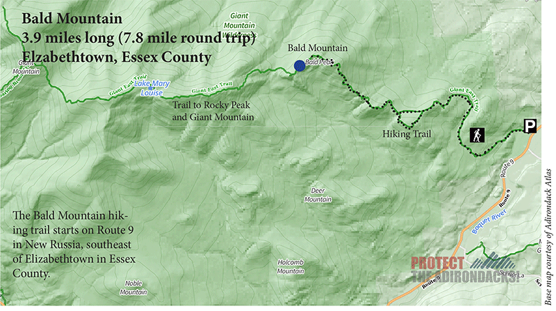
Bald Mountain
3.9 miles (7.8 round-trip)
Giant Mountain Wilderness
Elizabethtown, Essex County
Hiking, Snowshoeing
Level of Difficulty: Moderate
Hike Bald Mountain in the Giant Mountain Wilderness
The trail to Bald Mountain is a 3.9-mile hike that passes through beautiful streams, small mountain peaks, numerous scenic overlooks before arriving at a 360-degree summit north of Rocky Peak and Giant Mountain, two of the Adirondack 46 High Peaks. The parking area and trailhead is located off of Route 9 in New Russia.
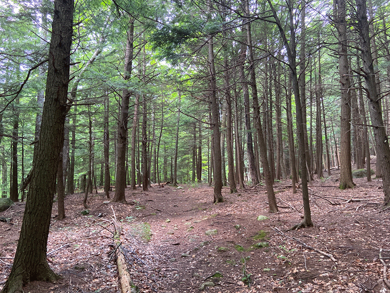
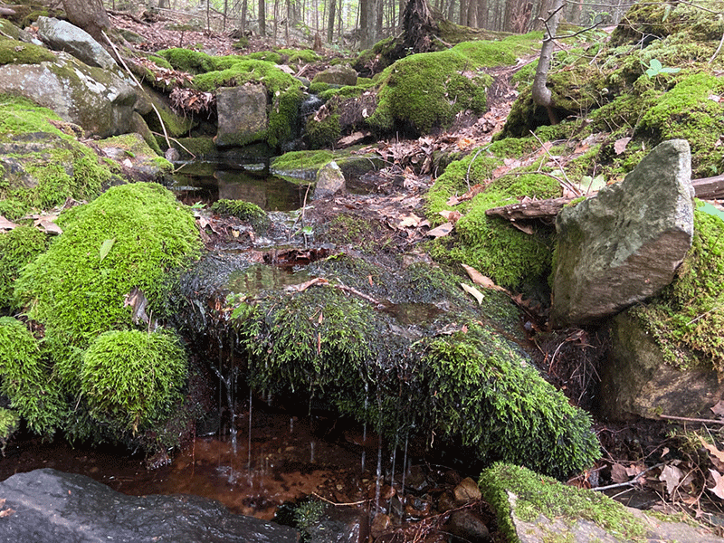
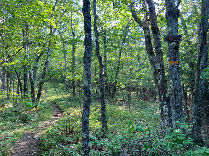
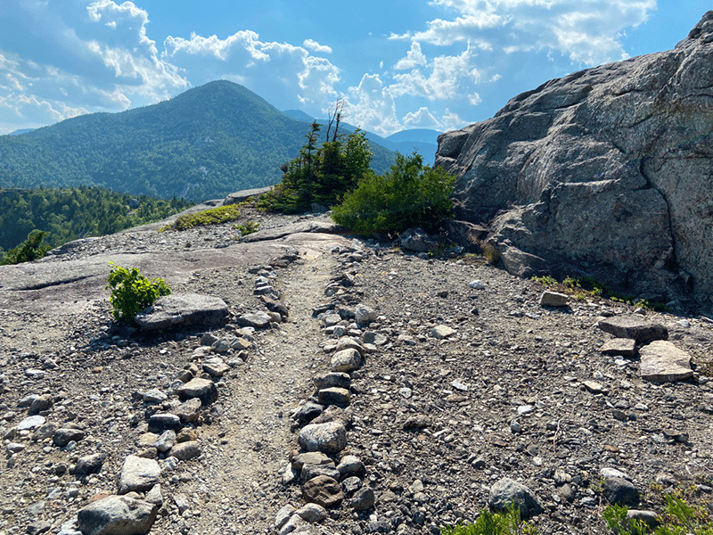
The trail is challenging, but well-marked. After the trailhead register the trail to Bald Mountain continues along a relatively flat, narrow path before cutting south. The trail then ascends mildly and passes by glacial erratics, in a beech-filled forest, and runs alongside a stream. At approximately the 0.5-mile mark, the path turns west and runs alongside a small brook while continuing to ascend gently then dives into an almost entirely hemlock forest, weaves alongside various ridges, before a steep ascent.
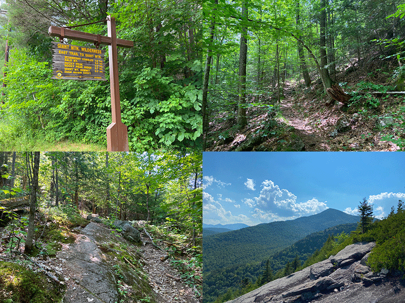
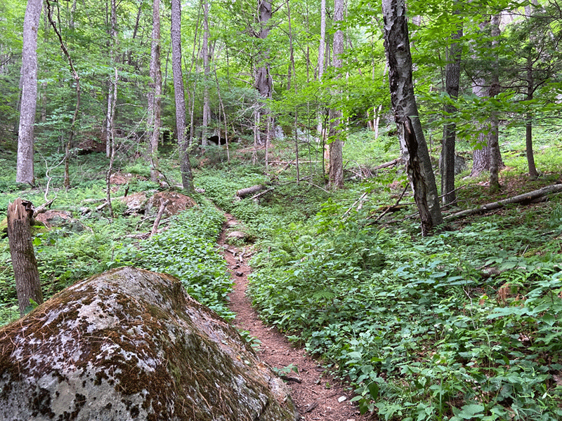
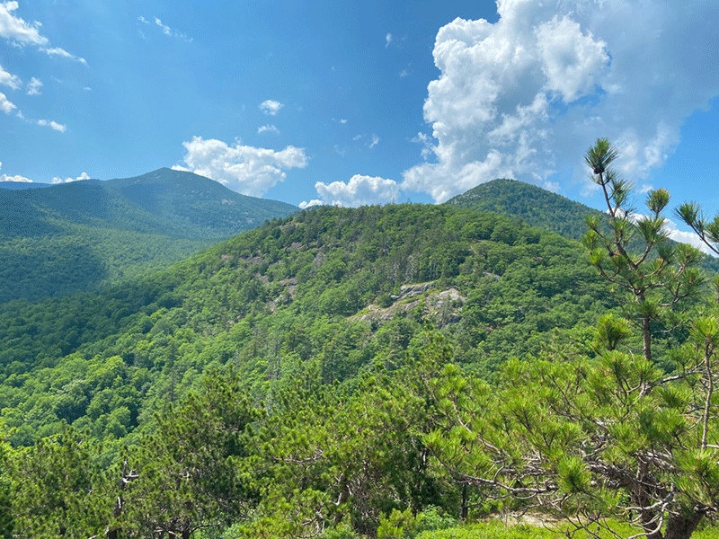
At this point, views of the Giant Mountain Wilderness begin on the trailside or side trails from a series of small outcrops on the Blueberry Cobbles, which run for over 0.5 miles. The first is at the end of a small, clearly marked side trail, and from it, Rocky Peak and Giant Mountain loom to the west.
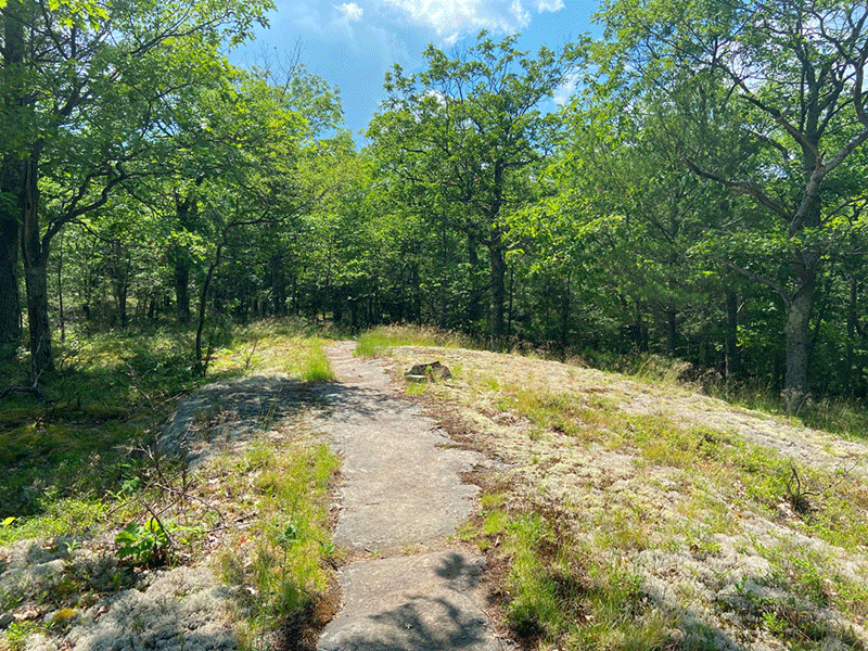
The trail runs on top of a rocky ridge line before arriving at a trail junction at approximately the half-way mark, just shy of 2 miles. The path to the right, marked by red trail markers, offers a shorter, less scenic route, best utilized on the return hike.
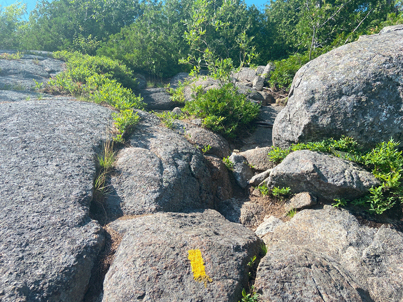
The other path is marked by yellow decals and curves around the ridgeline before arriving at another scenic overlook just 0.2 miles ahead. It then continues rightward before reaching another overlook that offers a prime view of Bald Mountain summit.
This is the end of the Blueberry Cobbles. The yellow trail drops down quickly after this view before reconvening with the red-marked trail at the 2.5-mile mark. The trail then ascends on a steep stretch marked by steep, rocky sections.
At the 3-mile point, a rocky outcrop provides a terrific view to the east of the Blueberry Cobbles. From this point, the trail continues to ascend and begins to follow yellow trail markers as it winds over large rock slabs and rocky outcrops. One view opens up to the next, and soon, a final ridgeline arrives at a walkway that points directly to the Bald Mountain summit.
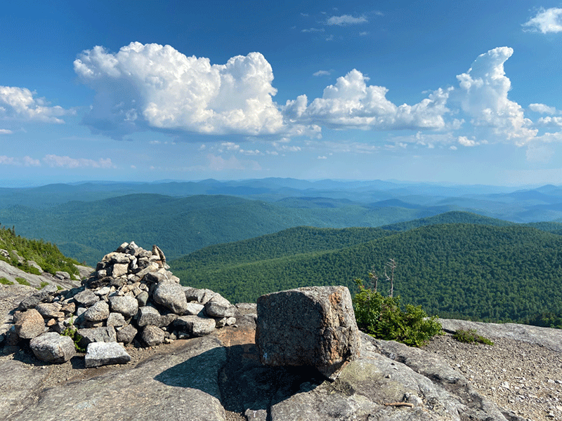
The Summit of Bald Mountain
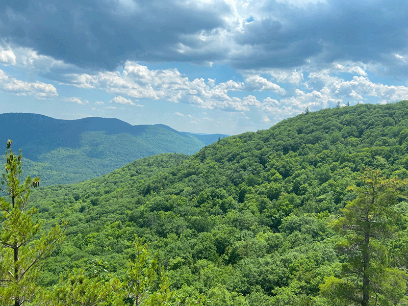
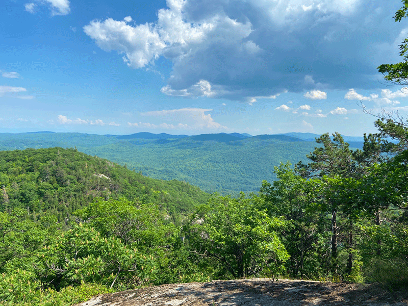
The summit is open and rocky, with many places to sit and rest. It offers a complete, panoramic views of the surrounding areas. Rocky Peak Ridge and Giant Mountain stand to the southwest. The Hurricane Mountain Wilderness stands to the north. Lake Champlain and the Champlain Valley are visible to the east. Dix Mountain is south.
The trail continues at this point for the ascent of Rocky Peak and Giant Mountain. The return trip from Bald Peak follows the same route used to hike in, but note that red-marked trail is shorter.
Click here to download a map and trail directions for Bald Mountain.
When You Hike Make Sure to Practice “Leave No Trace” to be Prepared and to Protect the Forest Preserve
Please follow “carry in, carry out” rules for all trash and follow other Leave No Trace principles when hiking in the public Forest Preserve and other wild areas. The seven Leave No Trace principles are: 1) Plan ahead and prepare; 2) Stay on hiking trails and camp at designated areas; 3) Dispose of human waste and trash properly; 4) Leave what you find; 5) Minimize campfires; 6) Respect wildlife; 7) Respect other hikers.
Educated hikers do not damage the environment.
Prepared hikers do not need search and rescue unless injured.
Winter Use: Bald Mountain is used for snowshoeing and cross-country skiing in the winter.