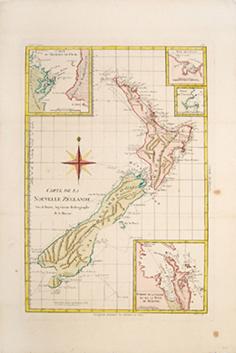
Carte de la Nouvelle Zeelande.
BONNE, Rigobert.
Published by Paris: 1778
From Peter Harrington. ABA/ ILAB., London, United Kingdom
AbeBooks Seller Since July 26, 1999
Seller Rating
![]()