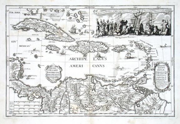
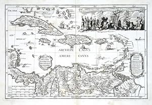
Archipelagi Americani delineatio geographica
Scherer, Heinrich
Published by Scherer, Heinrich, Augsburg, 1702
From Antikvariat Krenek, Prag, Czech Republic
AbeBooks Seller Since May 29, 2015
Seller Rating
![]()
Association Member:
Quantity: 1